UAV
An unmanned aerial vehicle (UAV), commonly known as a drone, is an aircraft without a human pilot aboard.
The flight of UAVs may operate with various degrees of autonomy. While they originated mostly in military applications, their use is rapidly expanding to a lot of others applications.


UAV Inspection & Monitoring
- on- & offshore inspection of oil and gas platforms.
- inspection of infrastructure like bridges, roads, railways, power lines & equipment, viaducts, subways, tunnels, level crossings, dams, reservoirs, retaining walls etc.
- inspection of wind farm & power stations.
- inspection of solar park & PV modules.
- thermal energy efficiency inspections.
- inspection of drilling rigs, pipelines & transmission network.
- asset & utility inspection.
- operation in preventive action or emergency cases.
UAV Surveying & Mapping
- land cover classification and mapping.
- surveying and mapping of land and infrastructure environment.
- land surveying and mapping of small and medium scale areas.
- surveying and mapping of mines, gravel pits, construction sites and remote working.
- land surveying for site plans, status plans and documentation of construction progress.
- surveying and mapping for cartography, orthophotography, topography, cadastral surveys and urban and regional development.
- surveying and measurements of objects and areas to create point clouds, digital terrain modelling (DTM), digital elevation modelling (DEM) and volumetric analysis.
- inspection and survey of land, embankments, dams and retaining walls.
- archeological surveys and excavation monitoring.
- geo information system applications (GIS).
UAV Precision Agriculture
- precision agriculture and smart farming remote sensing.
- survey and multispectral measurements for site-specific land development.
- ecological and agronomic rural cultivation.
- analysis of soil, health and vigor of crops.
- agricultural development, irrigation and nutrient management.
- fertiliser and pesticides measurement.
- topographic surveys, slope angle measurement and volumetric analysis for site design.
- environmental impact assessment and flood risk surveys.
- pollination
UAV Aerial Imaging
- 360 panorama imaging: Cylindrical panoramas, spherical panoramas & area panoramas.
- commercial & image photography: product photography, image shootings, commercial real-estate photography, tourism photography & event photography.
- wide-angle imaging: Landscape photography, wildlife & nature photography.
- monitoring and documentation of the construction progress.
- remote sensing & observation in case of fire, accident, damage & disaster.
- imaging automation for 360° panoramas, spherical panoramas and point-of-interest imaging.
- Image films
- Commercials
- Product movies
- Music clips
- Real estate aerials
- Sports & extreme sports movies
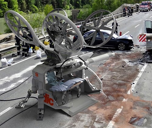
UAV other applications
- solar-powered drone to deliver worldwide internet
- recreation
- advertising
- spectacle (swarming)
- rescue
- transportation
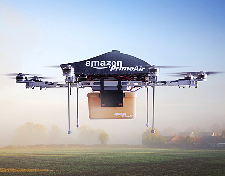
- delivery
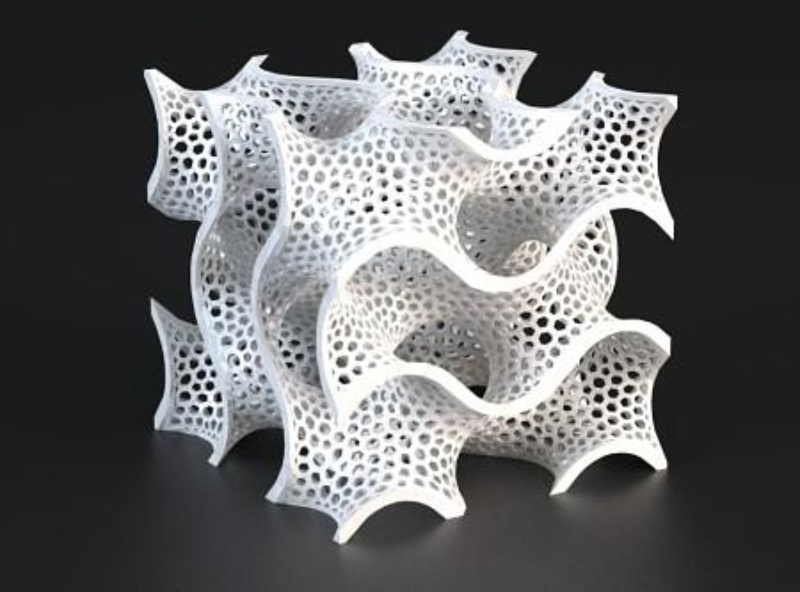
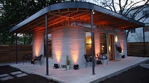
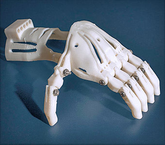
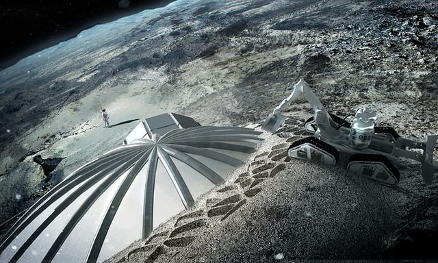
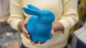
3D printing
3D printing refers to processes in which material is joined or solidified under computer control to create a three-dimensional object.


- Aerospace
- Architecture
- Art
- Automotive
- Engineering
- Fablabs
- Fashion
- Food
- Humanitarian aid
- Jewelry
- Manufacturing
- Medicine
- Product design
- Research
- Primary education
- Secondary education
- University
- DIY, hobbies and home
- 3D selfies
VIRTUAL Vs AUGMENTED REALITY
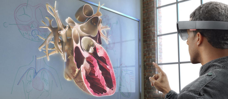
Augmented reality (AR) is a direct or indirect live view of a physical, real-world environment whose elements are “augmented” by computer-generated perceptual information, ideally across multiple sensory modalities, including visual, auditory, haptic, somatosensory, and olfactory.
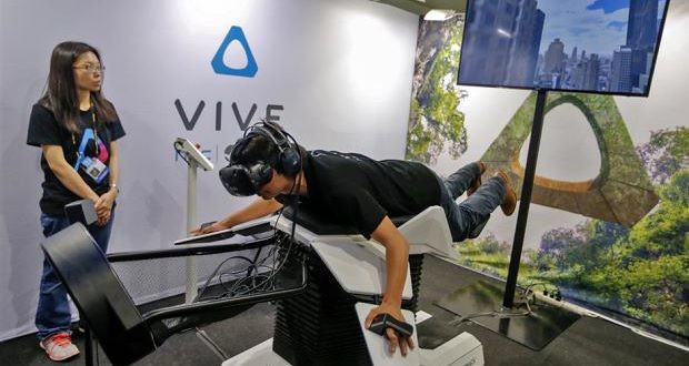
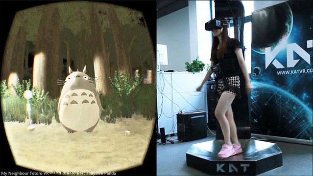
Virtual reality (VR) is a computer-generated scenario that simulates a realistic experience.


List of applications
- Literature
- Archaeology
- Architecture
- Visual art
- Commerce
- Education
- Emergency management/search and rescue
- Video games
- Industrial design
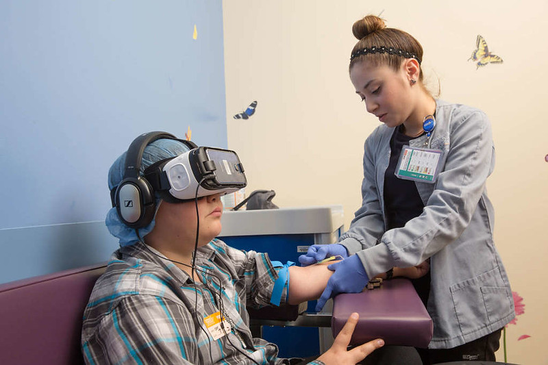
- Medical
- Spatial immersion and interaction
- Flight training
- Military
- Navigation
- Workplace
- Broadcast and live events
- Tourism and sightseeing
- Translation
- Music
- Retail
- Snapchat
Posted: by william ![]()
Category: Conversation topics